

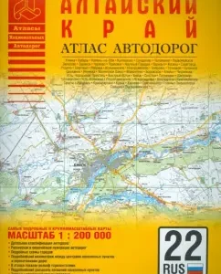
In the atlas:
Scheme of Atlas Card Location
The main roads of the Altai Territory
Distance table between the cities of the Altai Territory
Administrative-territorial device
Conditions
Road maps of scale 1: 200,000
Road maps of scale 1: 500,000
Barnaul and surroundings.
Scale 1: 200,000
Distance table, codes of registration signs Barnaul. Driving scheme
Scheme of the most important roads in the European part of Russia
Indicator of the names of settlements
Reductions taken in the atlas
Publisher
AST, 2011
Series
Atlases


Reviews
There are no reviews yet.